Wednesday, July 29, 2009

Travel Notes: Devil's Tower » Yellowstone National Park, WY

Wyoming doesn't have much of anything along the interstate, or anywhere, really. The scenery is mostly arid, rocky hills with land used for grazing where appropriate. I stopped in whatever towns had fuel to offer when I needed it. But then I saw something on the horizon - mountains! Through the blue haze I could see the snowy peaks. My GPS receiver indicated I was still far from Yellowstone, but this was where the Rocky Mountains began. I hadn't expected anything interesting between there and Yellowstone, but I was wrong...

Sundance, WY » Devil's Tower, WY

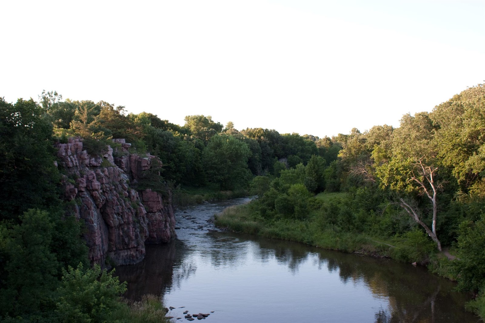
2009-07-18: En route to Devil's Tower, I intended to take the quick path. I missed the exit, or maybe there was no exit. So, I ended up going the long way around. The rural areas in between the Tower and the interstate (such as Carlile) were hilly and partially forested. I saw no one aside from fellow travelers.
 
Devil's Tower is a strange object. It looks completely out of place. Geologically, its existence makes sense, but that does not make it easier for the human instinct to accept. It is a sacred place to all Native American tribes in the region. Their holy men hang colourful prayer cloths and small pouches from the surrounding trees.
 
I was amazed that people were climbing up between the columns of this massive thing. I can only imagine what it feels like to stand atop it. I wonder if the descent is more difficult than the ascent.
 
The surrounding forest was a bright, peaceful place. One can hear the cries of eagles that nest on the mountaintop.

Mount Rushmore » ???

2009-07-17: Since Custer State Park was full, I returned to Rapids City only to find that every hotel there and nearby had no vacancies due to a Corvette rally being in town. I had seen the Corvettes and their owners all along the way to Rapids City. It was remarkable how nearly every Corvette owner I saw was nearly identical - down to the same height and weight, clothing, mustache, cap, and many other attributes. So, I traveled as long as I could, even looking for somewhere to stay in Sturgis (which I think by now is pretty much Disney World with motorcycles; the hardcore bikers likely go elsewhere). I ended up staying in my Jeep at a rest stop just across the Wyoming border, near a town called Sundance.

Sunday, July 26, 2009

Custer State Park » Mt. Rushmore, SD

2009-07-17: After leaving Custer State Park, just outside of Rapids City, I entered the Shoshone National Forest. Hairpin turns, one lane tunnels, and even corkscrew ramps wound through the forested hills. Mount Rushmore was impressive, though I am never sure if Theodore Roosevelt should be up there. He did a lot of good in that he was a dedicated conservationist and trust-buster, but I cannot overlook his blatant racism. And who knows what the others have done? I heard a child ask her mother, "Is Obama up there yet?"

Custer State Park, SD

2009-07-17: I went to Custer State Park, intending to camp. Sadly, the campground was full. I decided to at least take the "Wildlife Loop". Indeed, wildlife was abundant. I spotted some sort of brilliantly vivid blue bird shortly after entering. Stone bridges arched over shady cool creeks. Herds of wild burros roamed across the grassy parts of this park. I spotted two separate buffalo walking along the roadside, and I was able to capture some photos. There were many more animals I could not capture. This drive was a good cross-section of the Black Hills, having everything from mixed deciduous-coniferous forests to tall grassy hills to rocky outcroppings.

Crazy Horse Memorial, SD

2009-07-17: Leaving the Badlands, I continued west along the interstate toward Custer State Park. I decided to visit the Crazy Horse Memorial. So far I have been opposed to visiting private attractions, as most of the time they are overpriced and somewhat underwhelming. But Crazy Horse is a special case. It is designed to be a monument to all Native Americans. When asked where his lands are, Crazy Horse supposedly replied, "My lands are where my people lie buried." This monument embodies that ideal. This project, of which only some parts have been completed, is being managed by the family of the sculptor who designed the monument itself. They have turned down government grants of millions of dollars, citing "private enterprise" to be the American way (it's always so easy for talented artists to say that). I fear that it may be centuries before the monument is finished. However, the Native Americans, as a people, have a long memory.

Friday, July 24, 2009

Badlands National Park - Part II

2009-07-17: The Badlands impress the idea of a savage land, like something prehistoric. One almost expects to see mastodons and megatheria and other Pleistocene megafauna roaming the grasslands, as they perhaps once did there.

Monday, July 20, 2009

Badlands National Park - Part I

2009-07-16: From the interstate, not a hint of the Badlands can be seen. But once you have entered the park, a spectacular view stretches to the horizon. Mounds of white, brown, and grey sedimentary rock are cut into by deep ravines and gullies many hundreds of feet deep. Severe erosion ensures that the hillsides slope down at extreme grades. The soil, thin that it is, is hard and cracked, but crumbles easily when tread upon. In between the rocky spires, vast grasslands go on into the distance, and even farther along, more badlands can be seen. Rattlesnakes, goats, and prairie dogs inhabit this rough land. I stopped in the town of Interior (Pop. 77) for some supplies. The town was hardly more than a ruin.

Travel Notes: Sioux Falls » Badlands National Park, SD

Traveling from Sioux Falls toward the Badlands, most of the terrain is like that of Southern Wisconsin and Minnesota, albeit a bit dryer. After crossing the Missouri River, however, the land becomes very hilly and trees of any kind become rare.

Sioux Falls and Palisades State Park, SD


2009-07-15: I passed through Sioux Falls to see the falls themselves. There was an event in the streets which caused many roads to be closed. I made it to Falls Park and got a couple of photos.

Located about 12 miles from the interstate in rural South Dakota, Palisades State Park was small, quiet, and pleasant. My campsite was very near to Split Rock Creek, which added to the overall tranquility of this place. Sleeping with the sound of the churning creek waters just a few yards away was enjoyable.

Thursday, July 16, 2009

Travel Notes: Johnsburg, IL » Trempealeau, WI » Sioux Falls, SD

Across the southern regions of Wisconsin and Minnesota, vast and gently rolling hills stretch to every horizon, interrupted only by quiet county roads. Occasionally, a cluster of oaks or conifers reminds one of the forest that once covered these hills. The fertile earth found here is used to grow corn and soybeans. Massive, yet graceful, wind turbines rise up into the lazy, hazy blue skies, where not a single airplane or soaring bird is seen. The roadsides are lined with clover in bloom. Now that I have reached South Dakota, the hills are steeper and more rocky. Cropland gives way to grazing land. My desire to wander is now what drives me. I knew once I departed Trempealeau that I would not decide to turn back.

La Crosse Area

2009-07-14: In La Crosse, WI, I captured these photos at the "Friendship Garden" near the town's Visitors' Center. I drove around for a bit trying to find a good place to photograph the bluffs along the river, but I was not able to find a decent spot. I headed north to Trempealeau, to Perrot State Park. There I climbed Brady's Bluff, some 520' up. Thinking it was about to storm, I hurried back down the trail.

Tuesday, July 14, 2009

Travel Notes: Along the Mississippi River

2009-07-14: The terrain along the river's banks was spared the relentless grinding of the glaciers, resulting in stacks of sedimentary rock looming up around every turn. Atop these bluffs, radio towers pierced the brooding sky like needles. Hidden in between these rocky hills are small patches of farmland.

Sunday, July 12, 2009

Tolkien's Words

It is not my intent to make this site into a long-winded narrative. This, however, is meant to help convey the overall theme.

J. R. R. Tolkien wrote, in The Fellowship of the Ring, as part of the poem All that is gold does not glitter,

Not all those who wander are lost.

Origins

This photograph was taken in the unincorporated town where I spent my younger days. Even then, I was fascinated by seeing this type of thing. It brought about questions; "where does it go, and for how long, and what's along the way?" I discovered that where the path goes may not always be interesting, but I could, afterward, answer these questions, if only for the sake of knowing those answers.

A vanishing point on the horizon can be a captivating thing. This is one of the elements that has formed my wanderlust.

Friday, July 3, 2009

First Photo Posted

You will not see many like this here.